Building a Classifier to Predict Crop Types Using Remote Sensing Indices
A Brief Synopsis
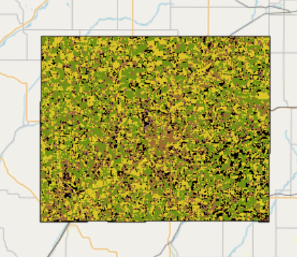
Analyzed Landsat satellite imagery and USDA Cropland Data Layer (CDL) to identify the top five crop types in Illinois and Iowa. Engineered features from remote sensing indices (e.g., NDVI, NDWI, RECI, MNDWI) to build an informative input set for classification. Developed a Random Forest classifier to predict crop types using the feature sets and got 56 % accuracy on the testing set. The corresponding jupyter notebook can be found here.