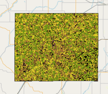
Building a Classifier to Predict Crop Types Using Remote Sensing Indices
Analyzed Landsat satellite imagery and USDA Cropland Data Layer (CDL) to identify the top five crop types in Illinois and Iowa. Engineered features from remote sensing indices (e.g., NDVI, NDWI…